Purpose
View available COVID-19, flu, and RSV vaccine coverage data using interactive maps, trend lines, bar charts, and tables.
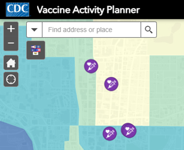
Vaccine Activity Planner
Step 1. Search for your area.
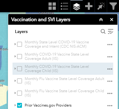
Step 2. Explore layer list.
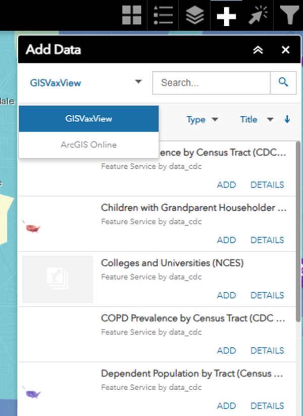
Step 3. Add data from the GISVaxView curated list or ArcGIS Online.
Step 4. Select, filter, and analyze.


Content Source:
National Center for Immunization and Respiratory Diseases